Oregon Coast, July 8-23, 2002
|
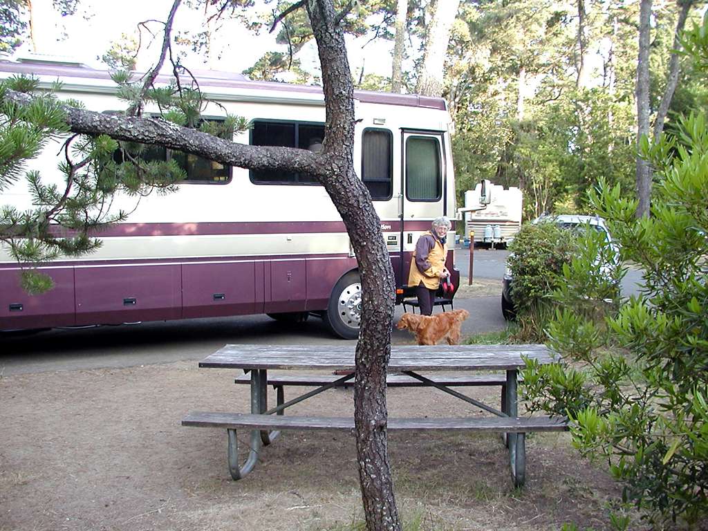
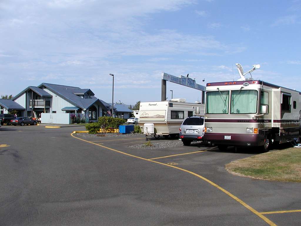
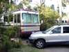
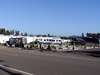
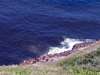
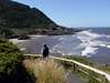
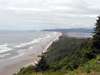
We have traveled the Oregon Coast a number of times while enroute to destinations further north, but never had the time to explore any part of it in detail. On July 8th we set out on a trip that had few plans, other than to spend at least two weeks with lots of stops along the coast. The first two nights were spent at the Driftwood RV Park in Brookings (actually in Harbor, just south of Brookings). A very nice park, set back in a ravine just inland from the beach. Gravel sites, a lot of back-ins and some pull-throughs, of which we had one. 50-amp circuits, and instant-on phone lines at many sites.
We took some nice beach walks with Holly, explored the town a bit, and went 8 miles inland up the Chetco River to Loeb State Park. This park includes a major stand of Myrtle wood, and has easy river access. Holly was able to engage in a long session of "swim and retrieve the stick," which washed off a lot of the beach sand (for the moment at least).
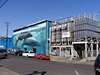
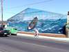
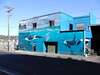
Our neighbors at Driftwood were in a very-similar-to-ours 35 ft '97 Safari Sahara, green with bear mural. We were able to pick their brains on a number of the details of the coach maintenance and similar things. They were at the beginning of a long trip up into Canada and back down through Montana.
|
|
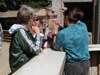
Wednesday the 10th we traveled north to Bandon by-the-sea, with a stop to browse through Gold Beach, including the Curry County Historical Society Museum. North of Bandon we pulled into Bullard's Beach State Park about 1 pm without reservations, and just managed to get a space for 2 days. This was the first time I ran into an inability to use the Datastorm due to trees in the way. Unlikely to be the last time. I was able to get adequate DirecTV reception with the dish, though.
|
|
The ranger asked if I had any trouble with a sharp-turn back-in on the passenger side, and I told her no. Fortunately the opposite space was not yet occupied, so I didn't have to prove it! Narrow paved sites, but wide separation between them with trees, bushes, tables, and barbecue pits.
|
|
|
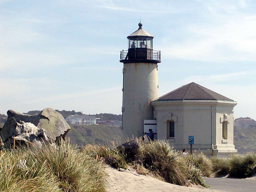
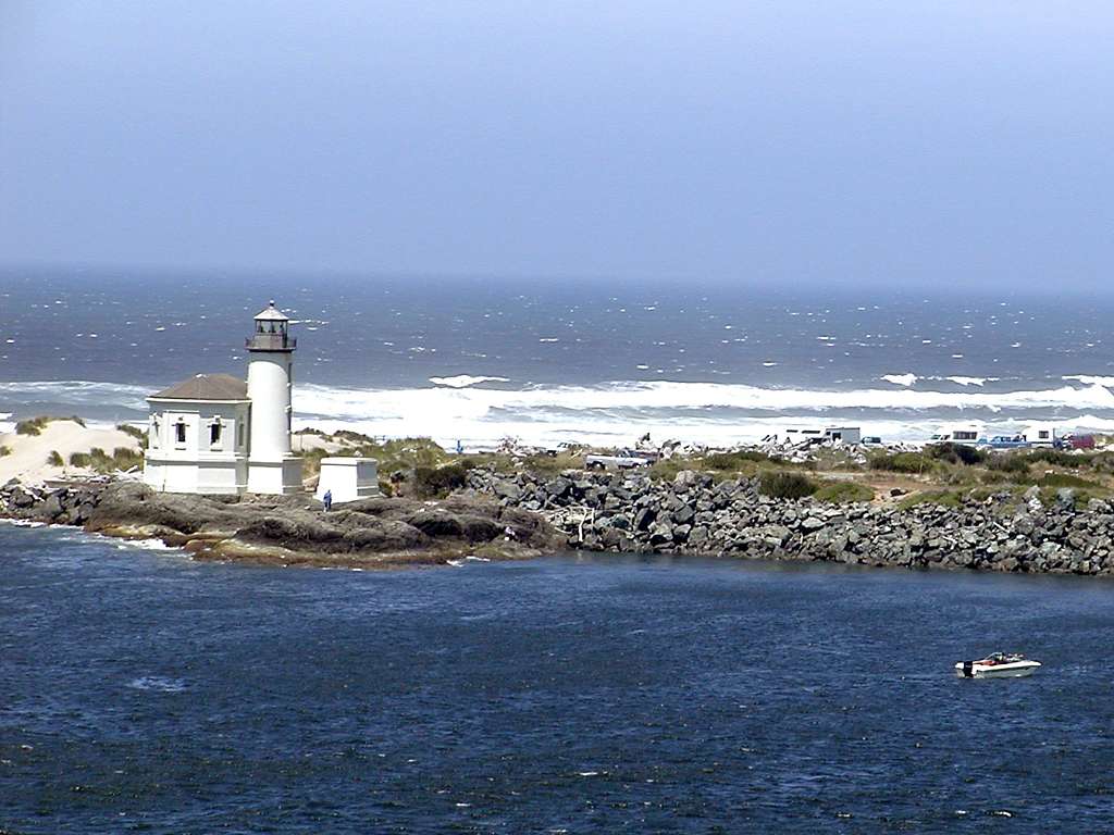
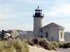
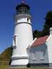
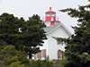
We traveled out to the Coquille River Lighthouse,
an 1896 structure that is no longer in service. You can climb up in the lighthouse itself and get quite a view of Bandon, the jetties, and the beach to the north.
|
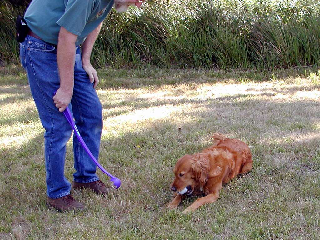
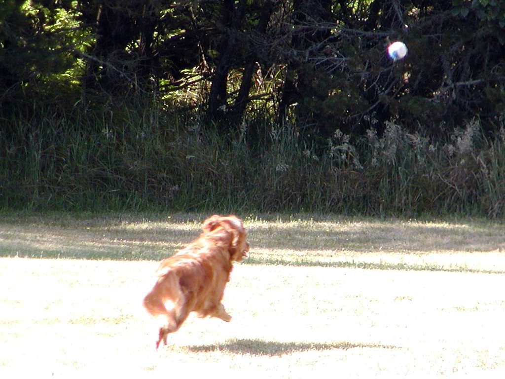
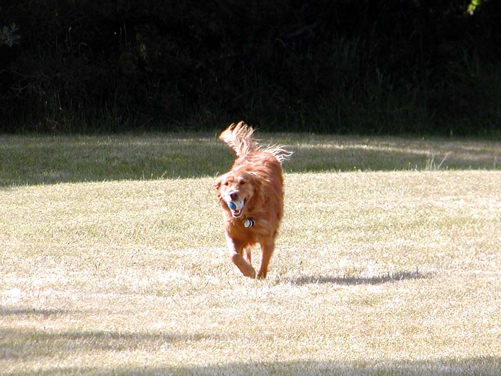
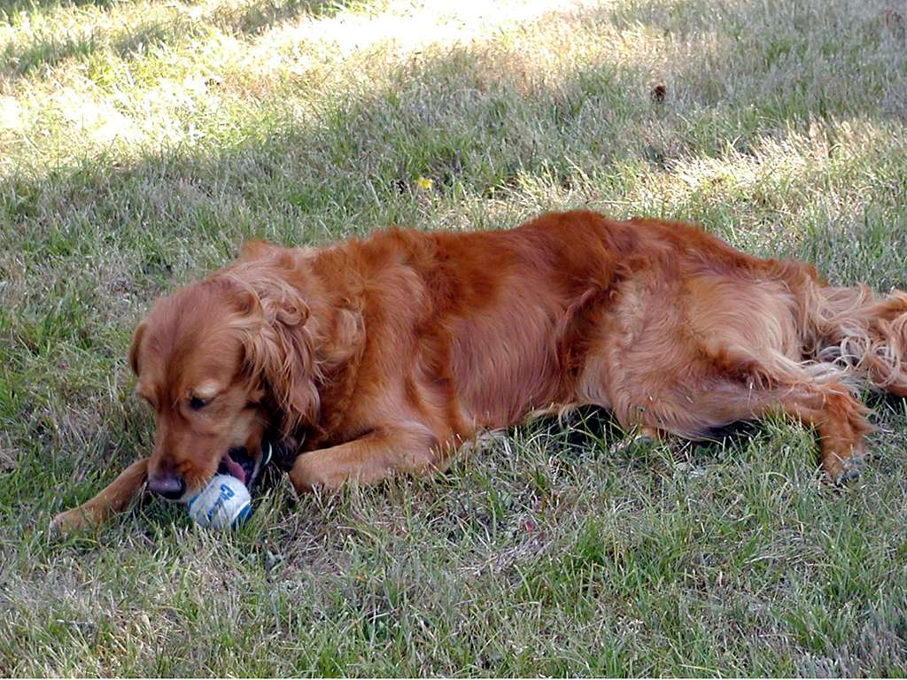
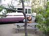
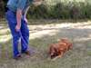
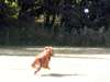
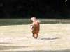
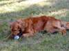
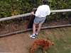
On the way out to the lighthouse we found a nice unoccupied area of grass where we could engage in a game of Chuckit. if you don't know what a Chuckit is, see it here. We gave Holly a good run there on both Wednesday and Thursday.
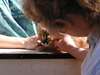
Sometimes the tennis ball needs a good chew before it is ready for throwing again.
|
|
|
|
|

|
|
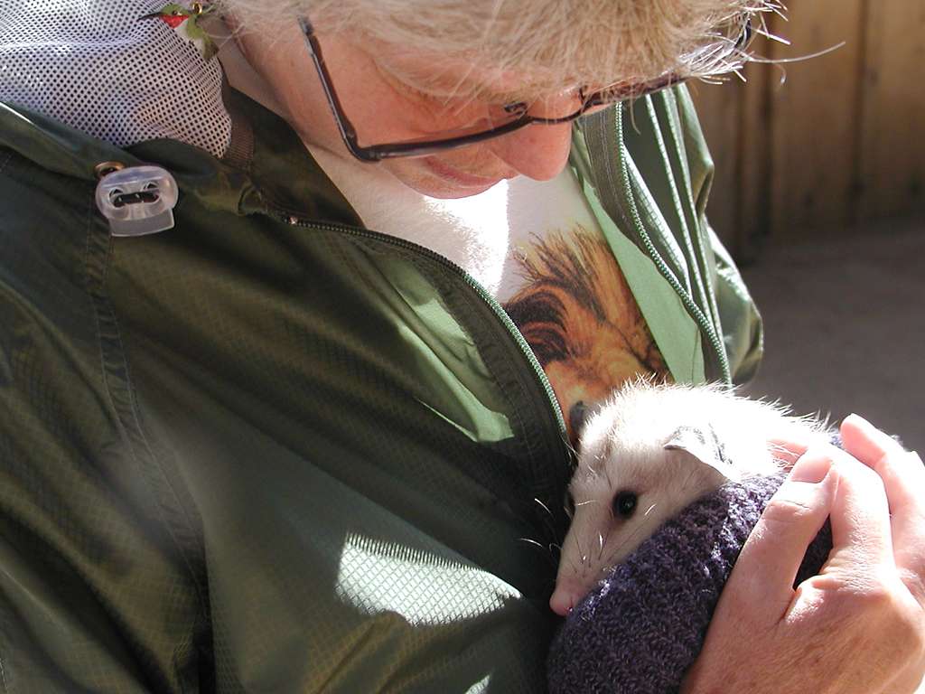
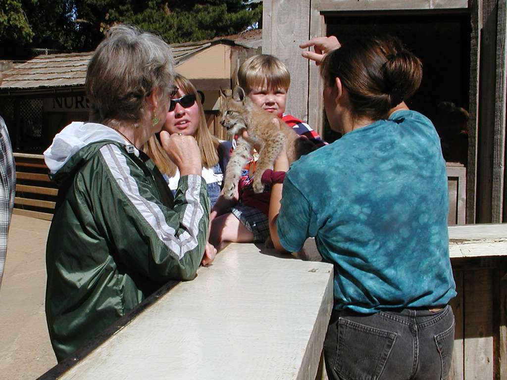
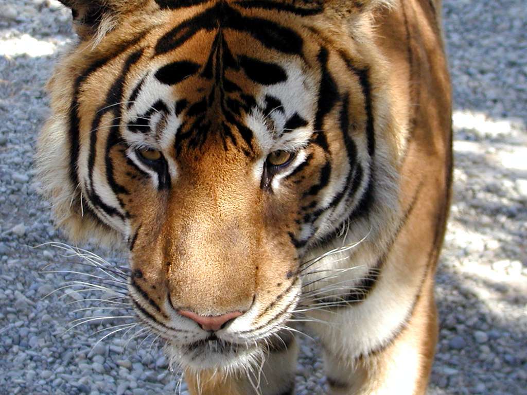
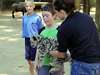
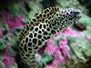
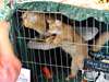
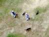
South of Bandon is the Oregon Game Park Safari, a small private zoo that offers an up-close and personal look at animals from around the world. Among the young critters available for petting were ferrets, skunks, oppossums, and 9-week-old Snow Leopard, Siberian Lynx, and Caracul.
|
|
|
|

|
Another stop was at the Misty Meadows Jam store, where we stocked up on such things as Cranberry-Raspberry and Tayberry Jams. Lunch Thursday was PB & Marionberry Jelly sandwiches. Umm-good!
|
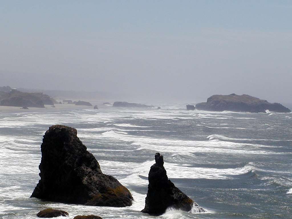
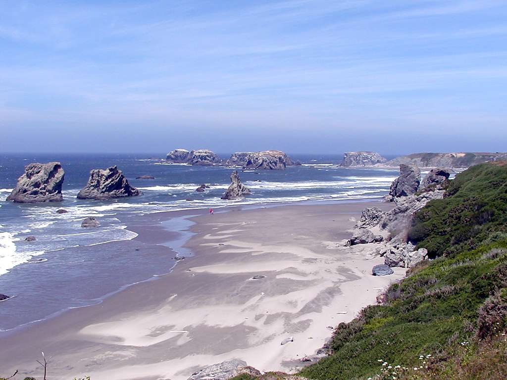
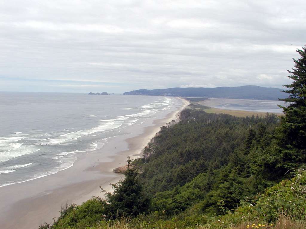
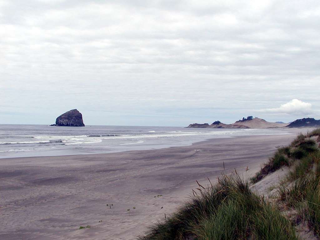
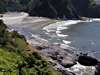
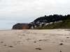
There is a loop road that starts a few miles south of Bandon and continues into the heart of old-town Bandon, along the coast. A lot of development blocks the view along much of this, but there is good beach access several places in Bandon State Park, and a nice overlook at Face Rock. Holly got to run wild on one of the open beaches, although the wind was really blowing hard. |
|
|
|
|
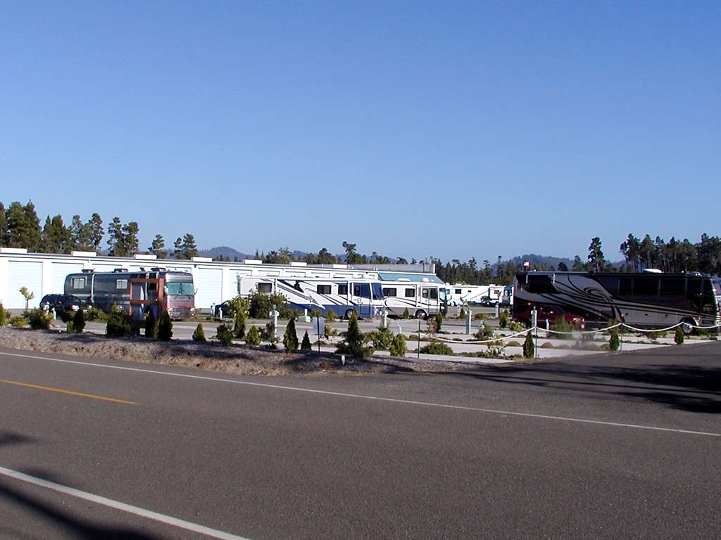
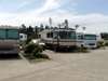
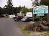
Friday the 12th we stopped one day at the Lucky Loggers RV Park in Coos Bay. Level, paved sites next to the bay gravel between most sites, but we were lucky enough to get one with a decent patch of grass. We visited the Coos County Historical Society museum in North Bend, which among other things had a display from the wreck of the New Carissa in 1999 - that's the one the Coast Guard tried to burn to get rid of bunker oil. The RV park has a locked gate that allows access to a nice walk alongside the bay; we joined three others with their dogs for a 1/2 mile walk (each way) in the late afternoon. |
|
|
|
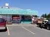
In Florence we stayed at the Happy Place RV Park. A rather sterile, concrete establishment, where just about everything was against one rule or another. Clean and quiet, in any case.
|
|
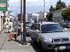
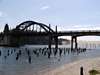
Old Town Florence has a number of interesting galleries and assorted tourist traps. It is immediately on the banks of the Siuslaw River, with the old bridge behind it still handling 101 traffic.
|
|
|

|
|
|
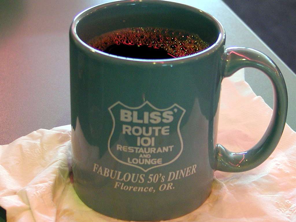
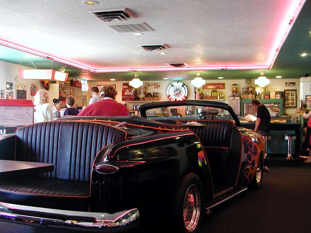
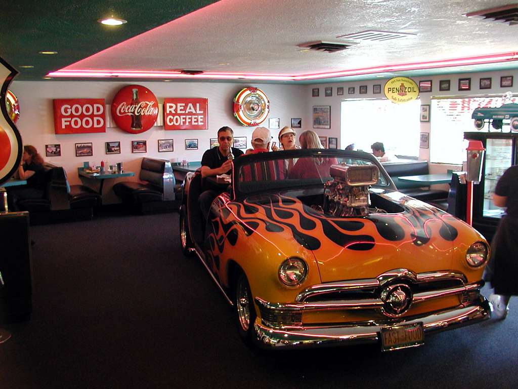
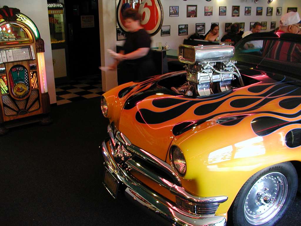
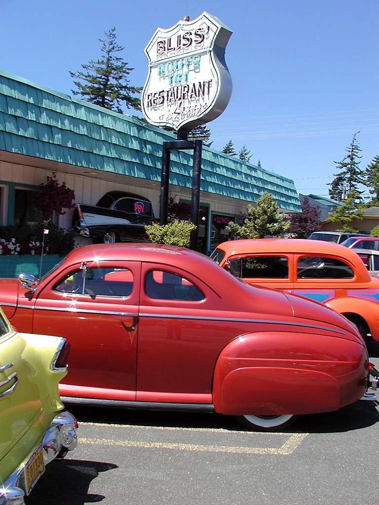
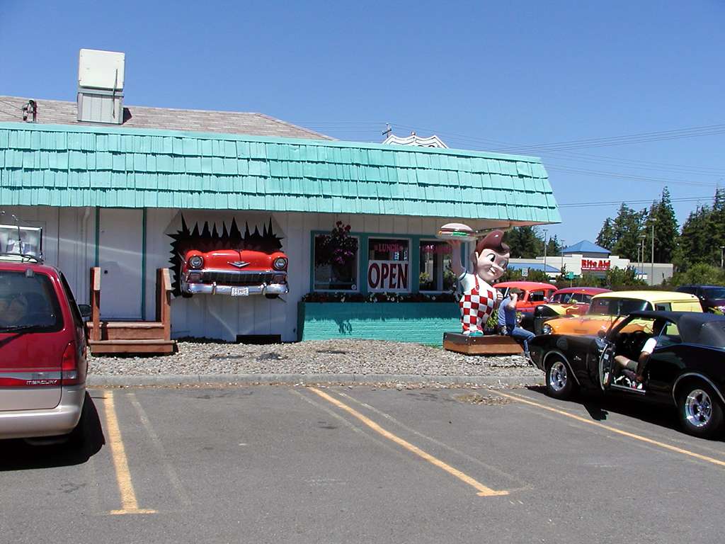
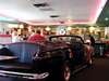
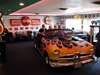
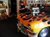
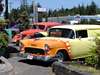
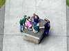
The Route 101 Restaurant and Lounge in Florence is an eclectic place, filled with (mostly) 50s memorabilia. The car/table in the middle is unique in my experience. Waitresses with faux poodle skirts rounded out the atmosphere. There were an unusual number of 1930-1970 vintage rods on the street, with most making regular stops at the restaurant. Don't know if there was an event, or if this is normal weekend cruising in Florence.
|
|

|
|
|
|
|
|
|
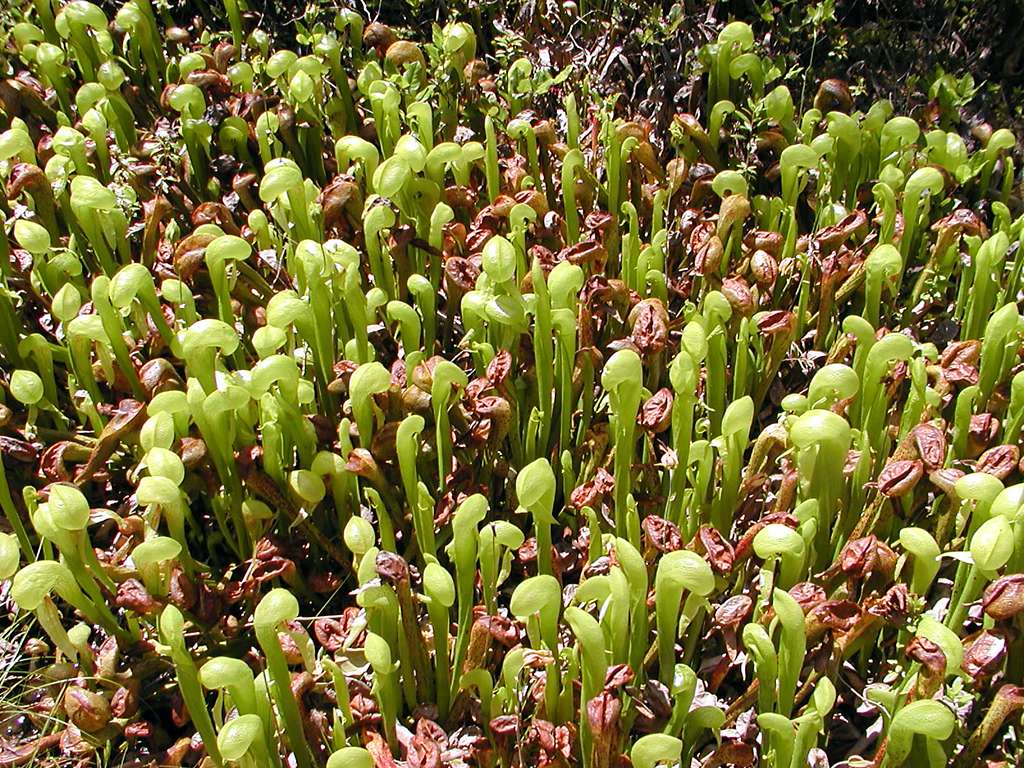
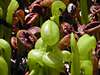
North of Florence is the Darlingtonia Wayside, where you will find bogs filled with Pitcher Plants, Darlingtonia californica. I tried to find one where you could see a live insect buzzing around inside, but did not succeed.
|

|
| |
|
 |
|
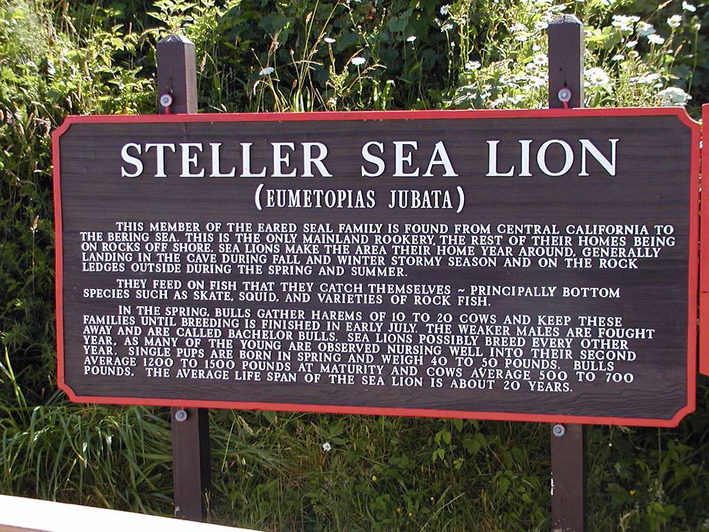
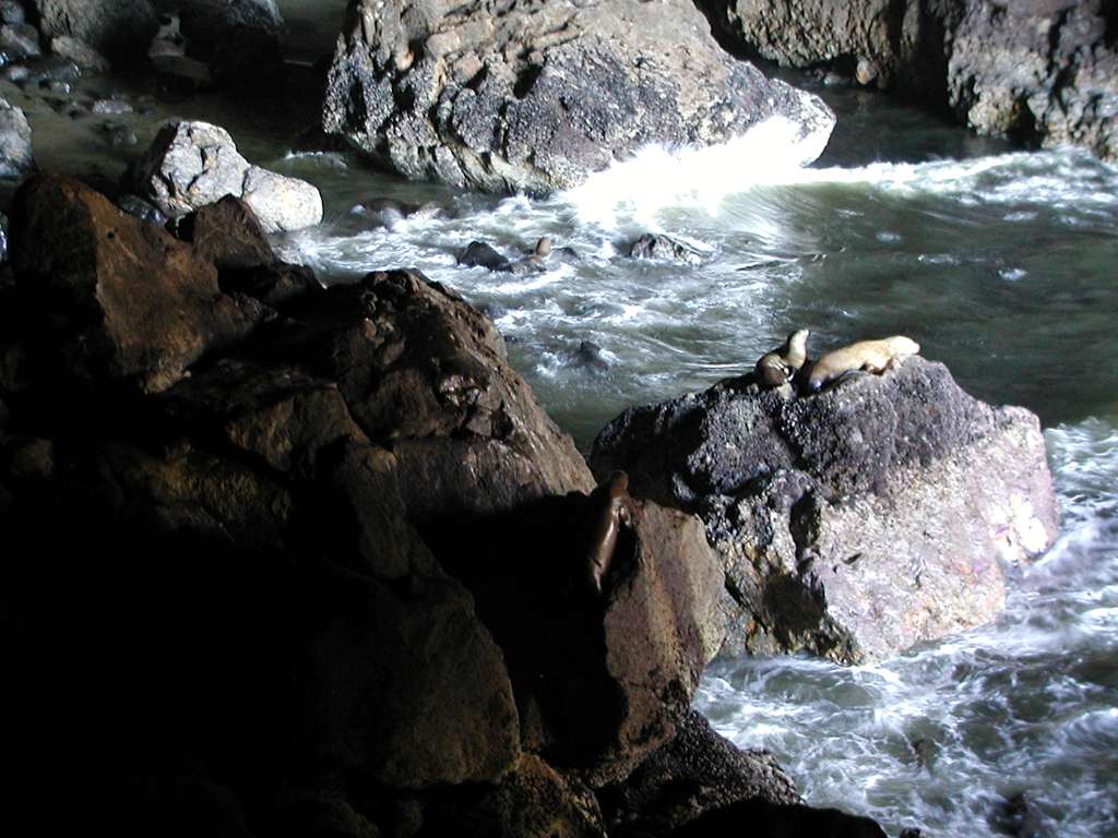
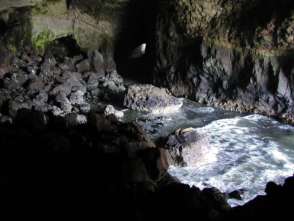
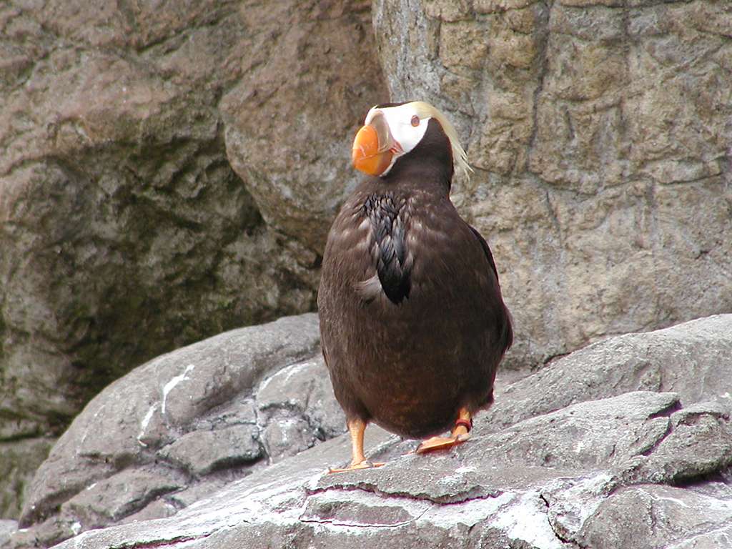
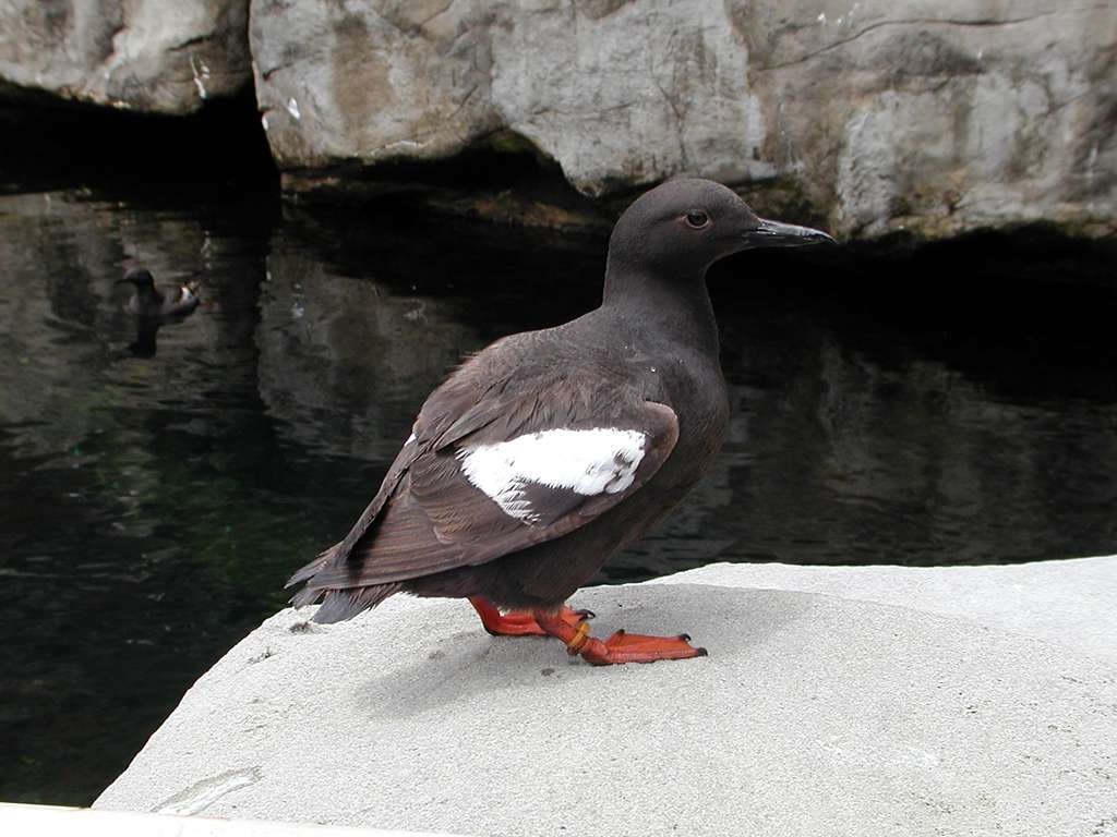
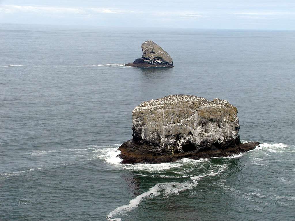
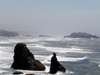
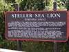
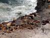
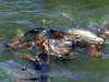
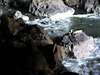
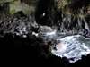
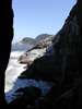
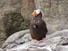
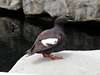
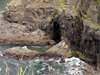
The Sea Lion Caves are a must stop, 11 miles north of Florence. At this time of year, most of the Sea Lions are outside the caves, but fully visible from above. A few can be seen in the caves, and there are birds such as cormorants and Pigeon Guillemot in and out of the caves.
|
|
|
|
|
|
|
|
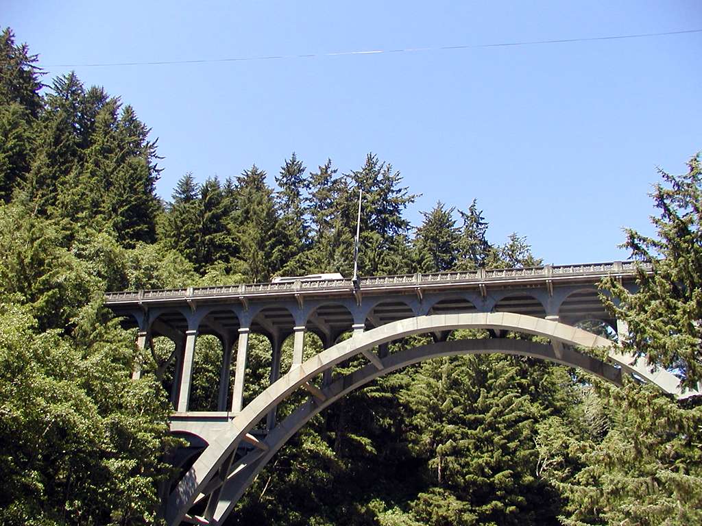
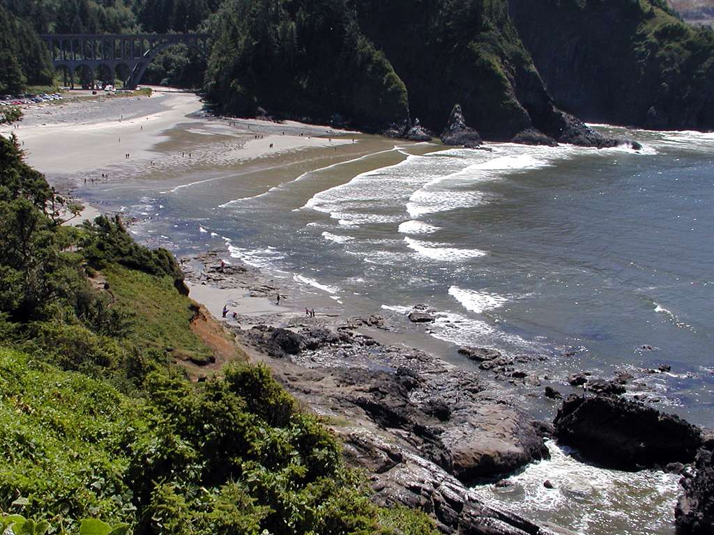
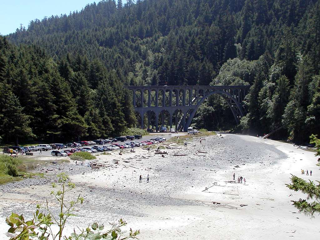
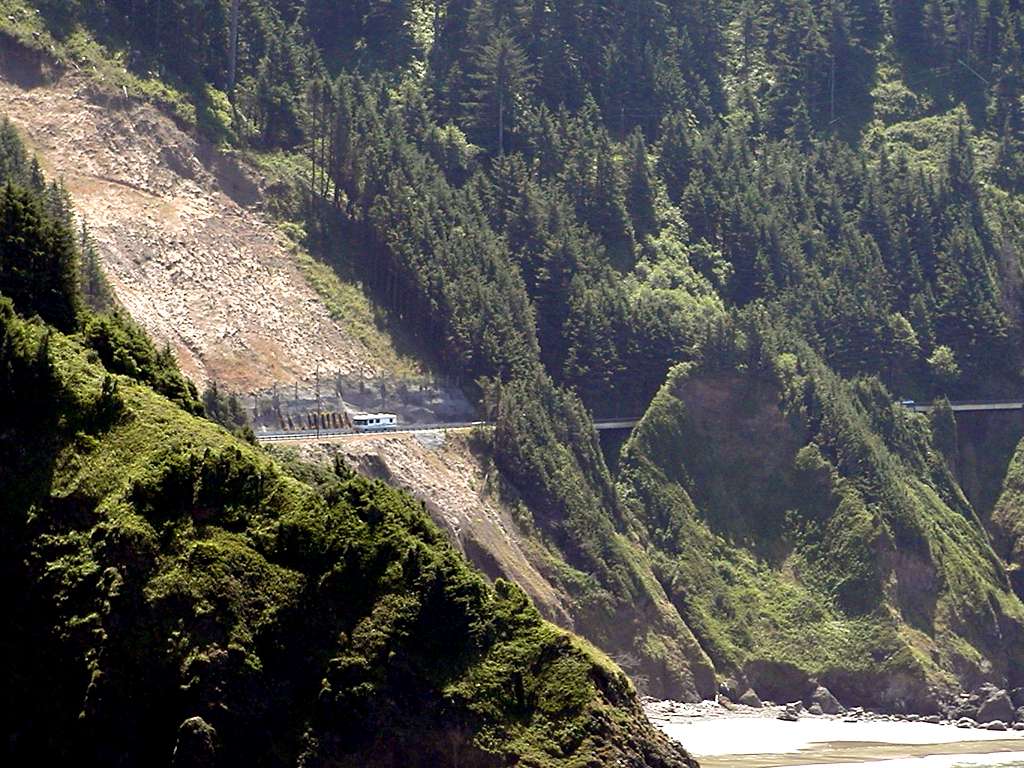
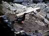
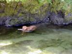
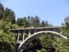
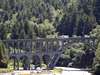
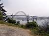
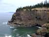
Between the Sea Lion Caves and Heceta Head is Cape Creek, with a high concrete arch bridge just after you pass through a tunnel. Holly got a good swim, and then we walked up to the lighthouse.
|
|
|
|

|
|
|

|
|
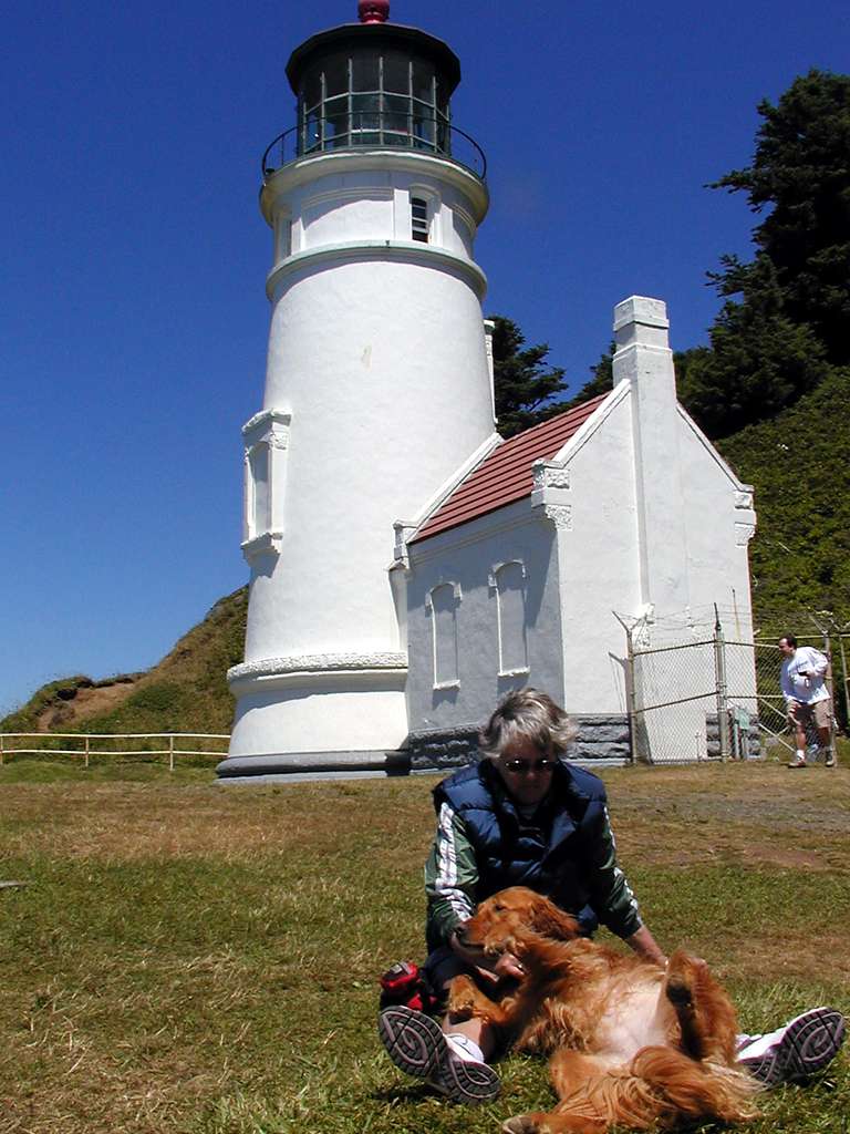
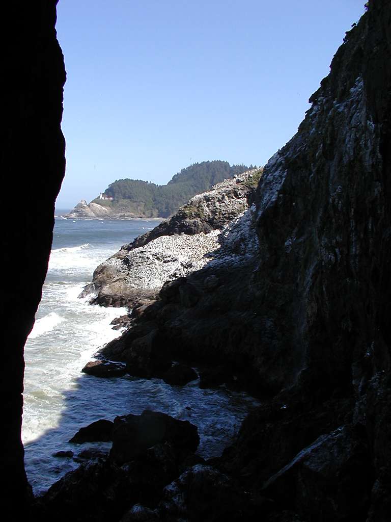
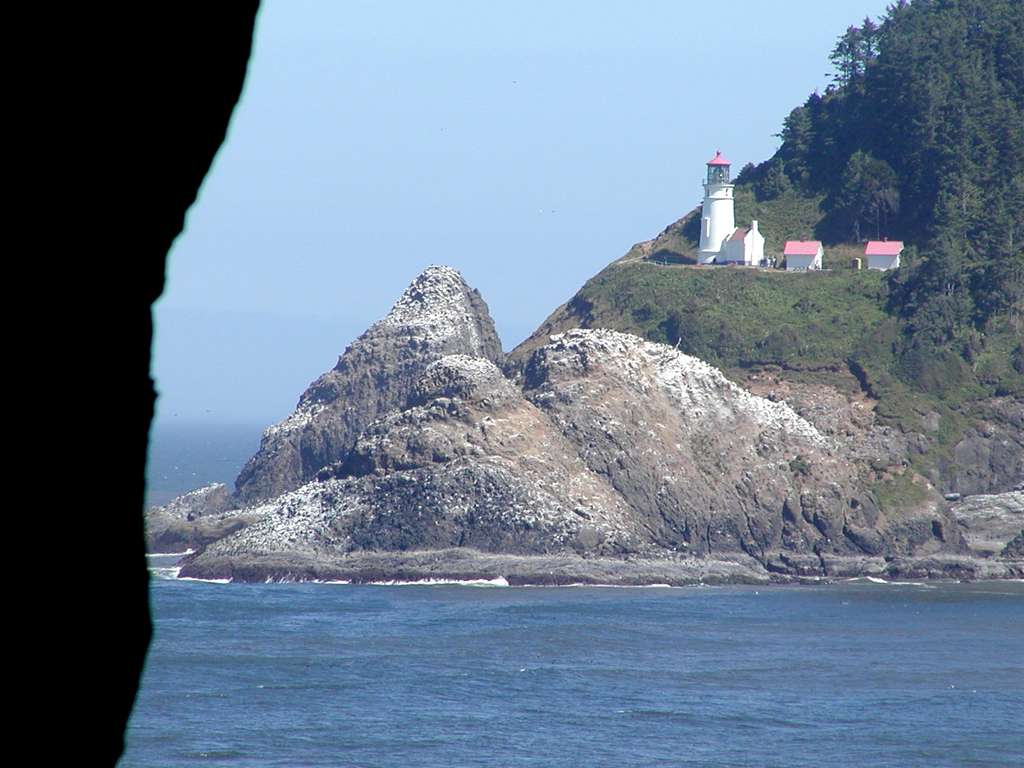
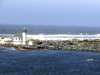
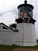
The lighthouse at Heceta Head was built in 1894, and is still fully functional. It has 1 million candlewatts, flashing every 10 seconds. Here are views of the lighthouse from the caves, and closeup.
|

|
|
|
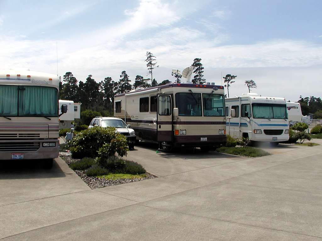
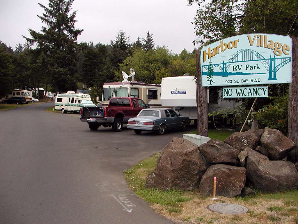
Monday and Tuesday the 15th and 16th we were at Harbor Village RV Park in Newport. Narrow asphalt strip that didn't hold up well under the jacks, but a nice park anyway. Down on the bay, just east of the main oldtown commercial waterfront.
|
|
|
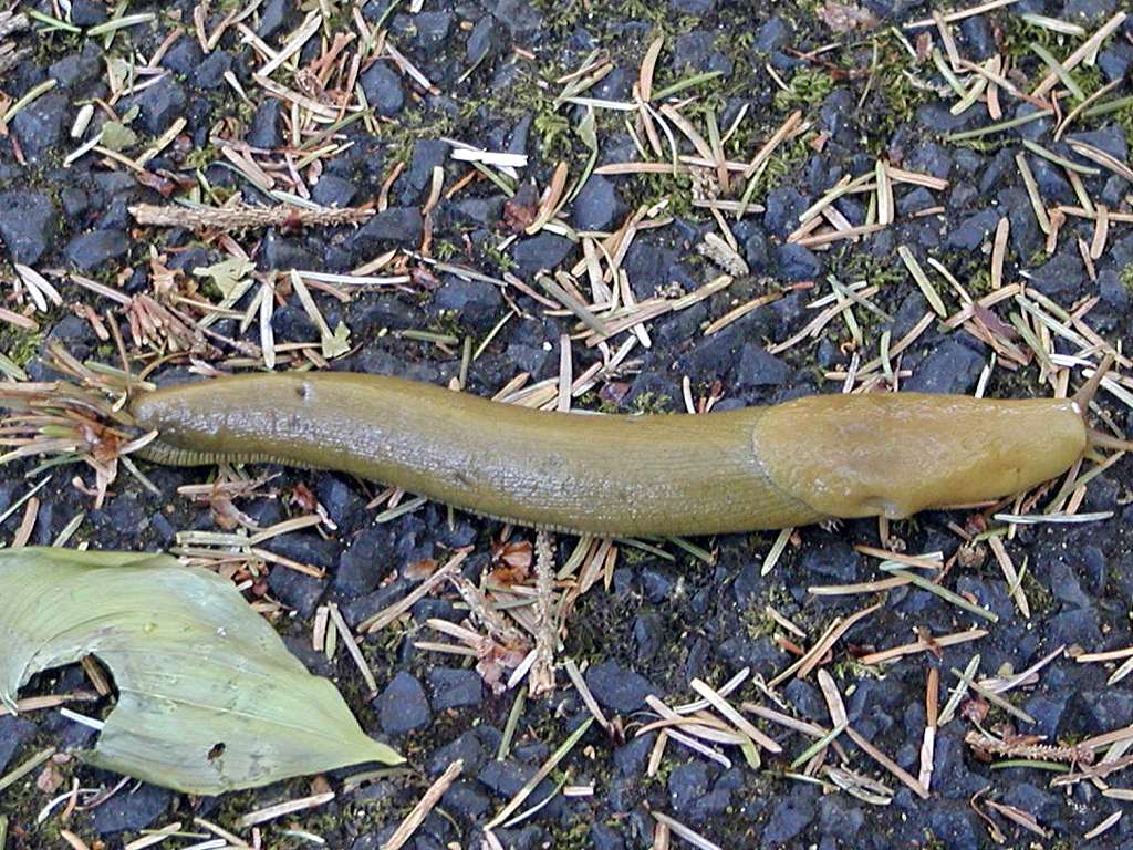
Almost as big as our Humboldt County ones!
|
|
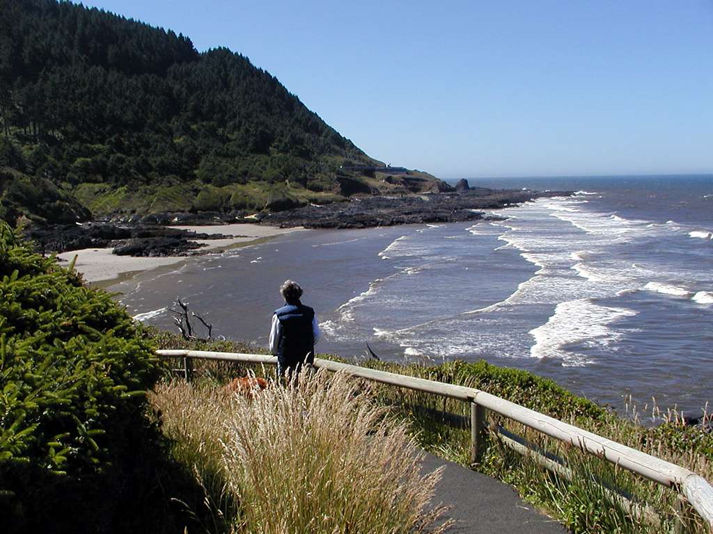
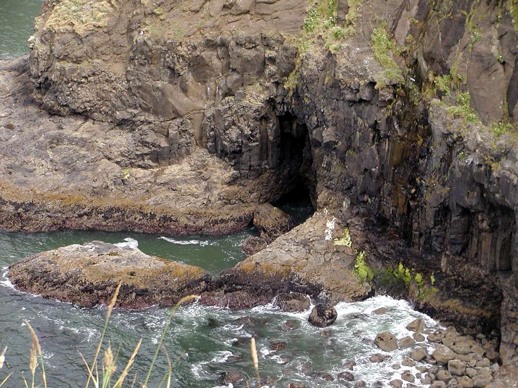
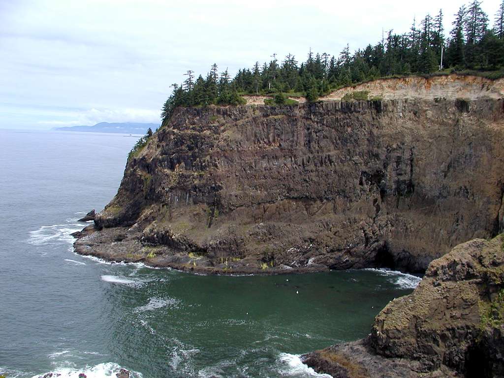
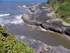
A stop at Cape Perpetua produced some nice hiking time, but the tide was way out so there wasn't any spectacular action at Devil's Churn or Spouting Horn. Perhaps we'll be luckier on the return trip.
|
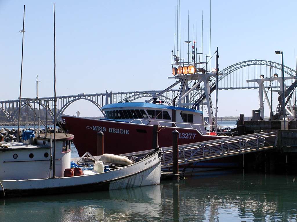
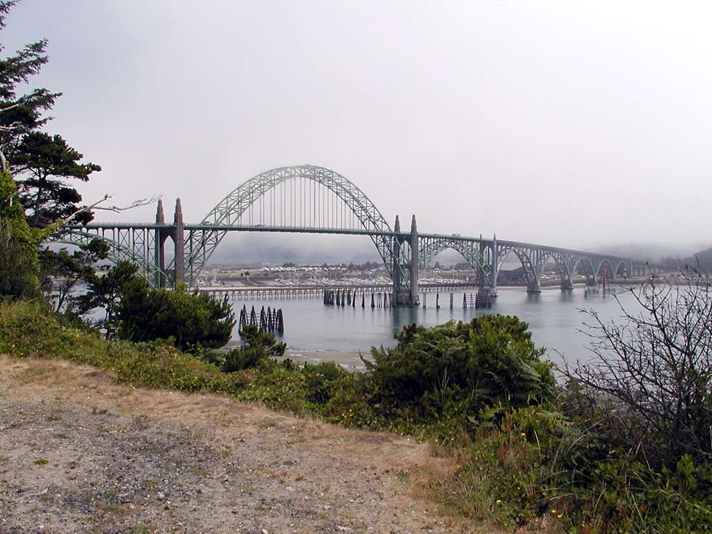
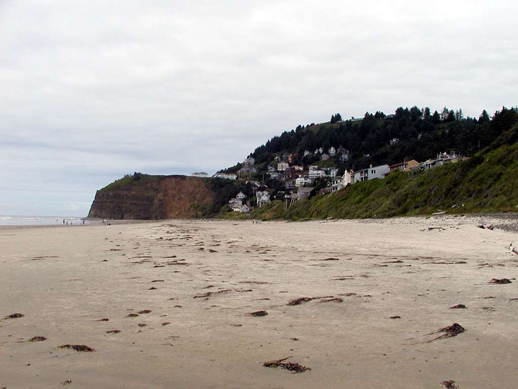
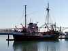
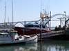
The bayfront at Newport is a mix of working port and tourist establishments. This is the busiest port I've been in for a long time, with boats coming and going, and forklifts dashing down the street carrying tubs of who-knows-what.
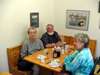
We had breakfast with old friends Walt and Dixie Ricks, who retired north of Lincoln City a number of years ago. Walt owned a pet shop in Eureka for a number of years.
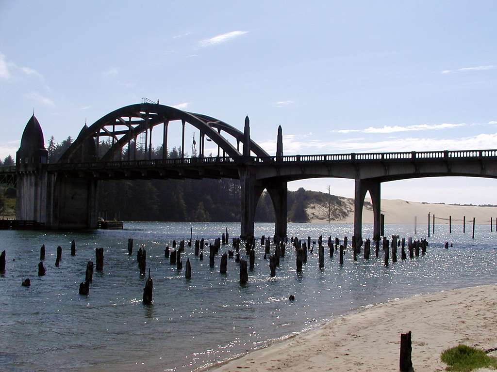
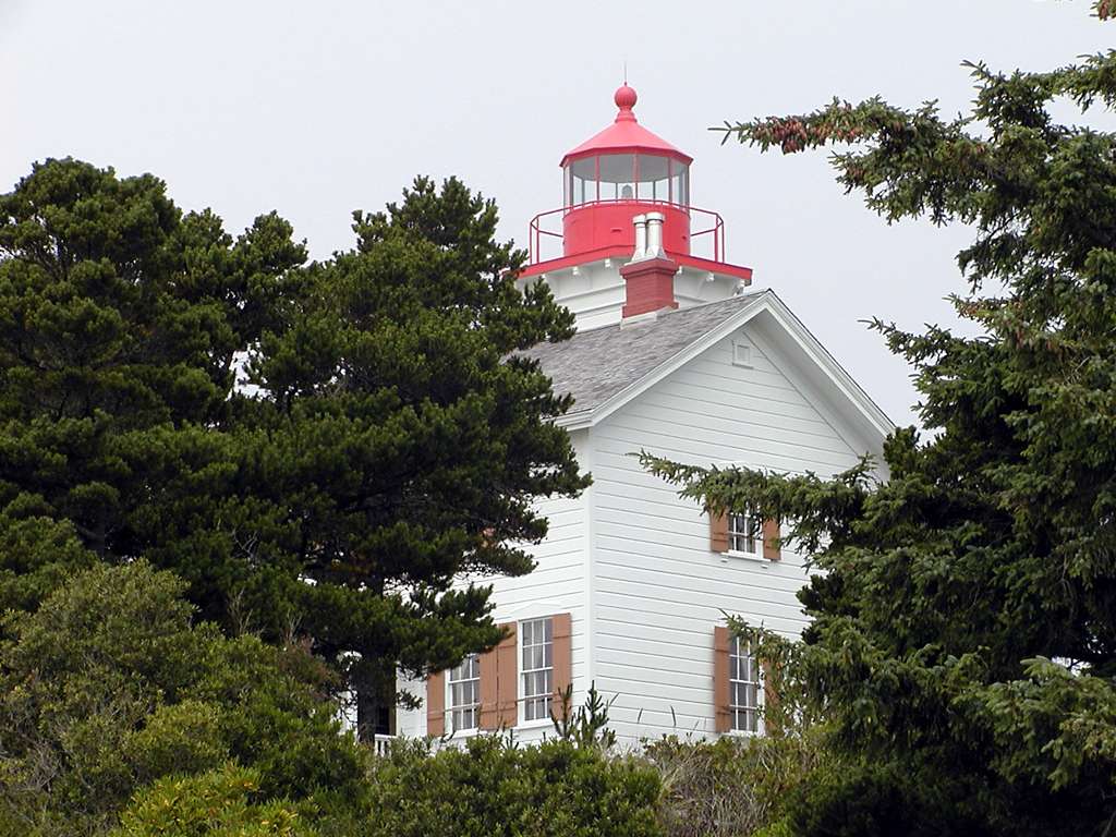
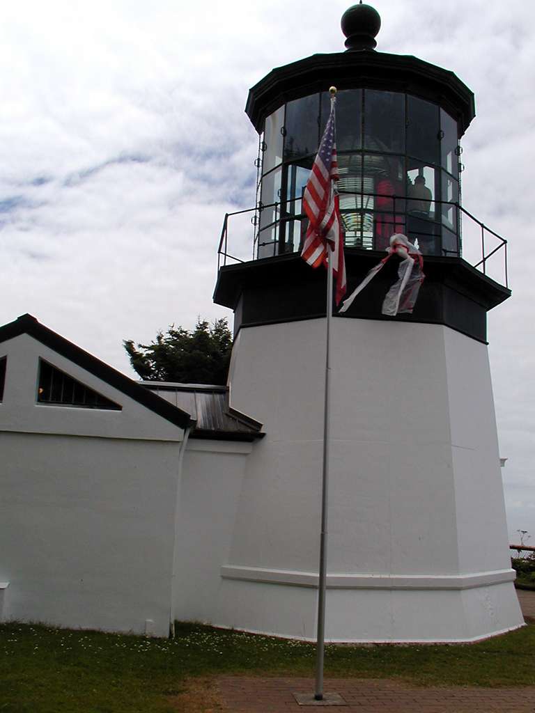
The lighthouse at Yaquina Bay had a short lifespan, in use just from 1871-1874.
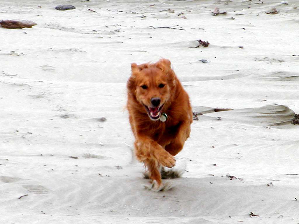
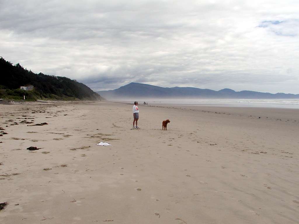
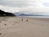
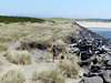
Holly got another good run on the beach north of the North Jetty.
|
|
|

|
|
|

|
|
|
|
|
|

|

|
|
|
|
|

|
|
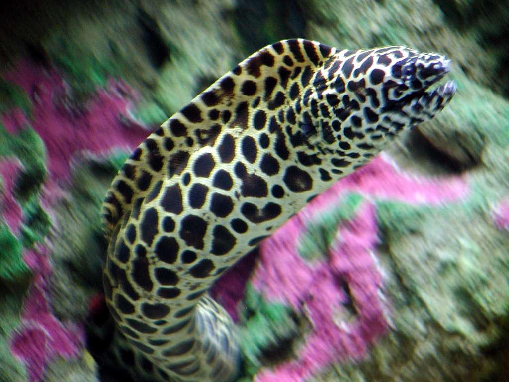
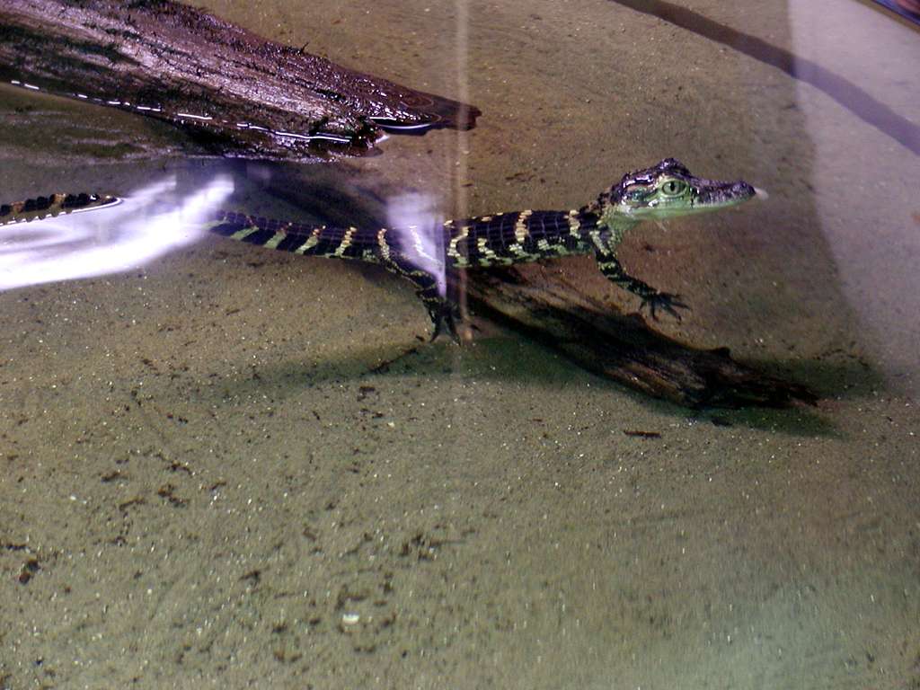
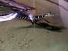
The Oregon Coast Aquarium has grown a great deal since we were last here, and there are lots of fine exhibits of marine fish, mammals, and sea birds.
|
|
|
|
|
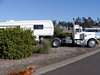
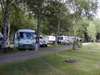
Next stop was Pleasant Valley RV park, 6 miles south of Tillamook. Very long pull-through sites, gravel and grass.
|
|
|
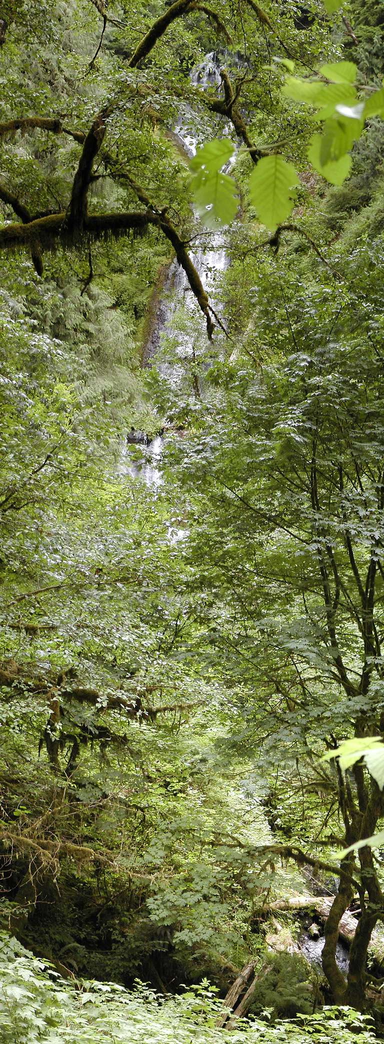
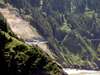
Munson Creek Falls are billed as the highest in the Oregon Coast range, at 266 feet. Heavily overgrown, and impossible to get a spot where the entire falls were visible at one time.
This picture is a big one, at 768x2088, and is actually a vertical panorama stitched together from 7 separate images. The sign on the road that takes you two miles east from Hwy 101 says "No trailer turnaround." Actually I think you could turn around a small to medium trailer, but that's only part of it. Narrow road, with low limbs, and parking at the end for only about 8-10 cars.
|
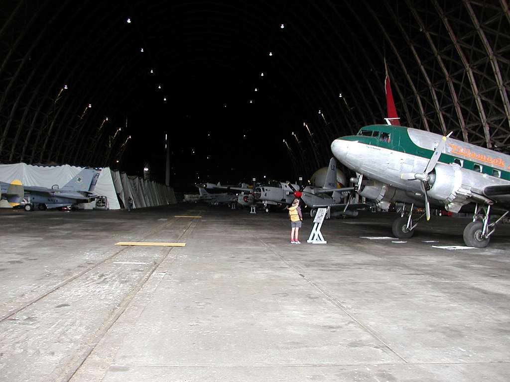
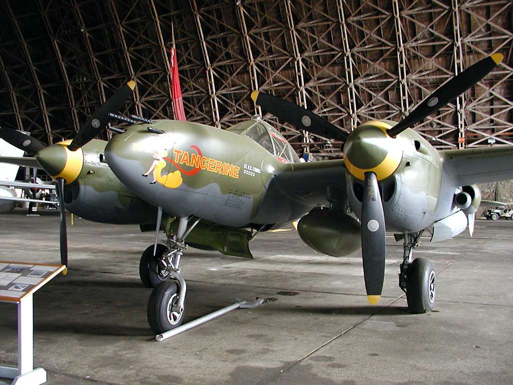
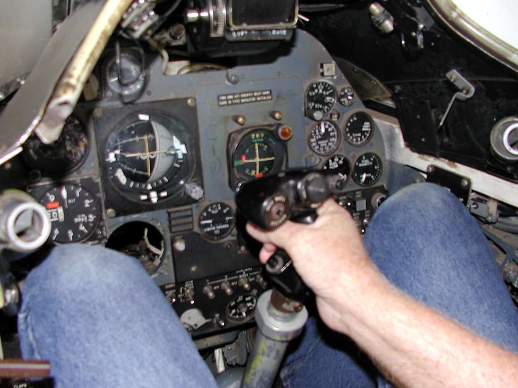
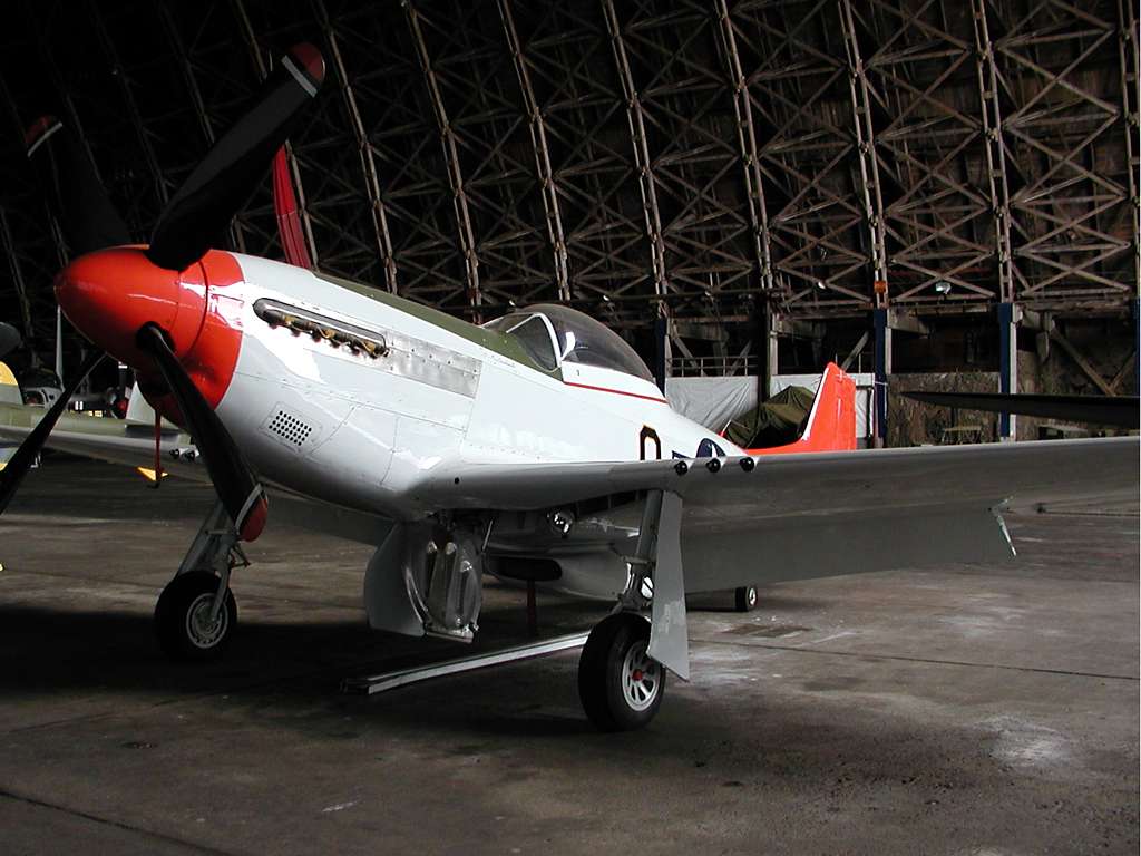
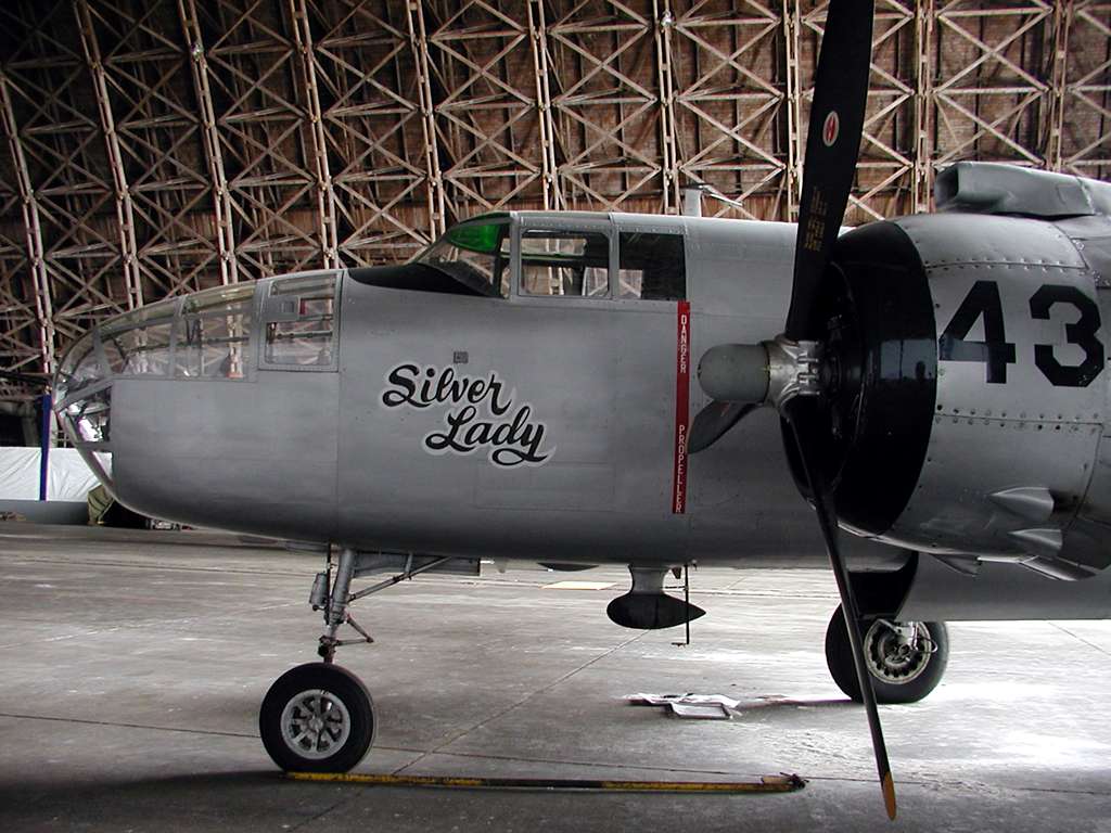
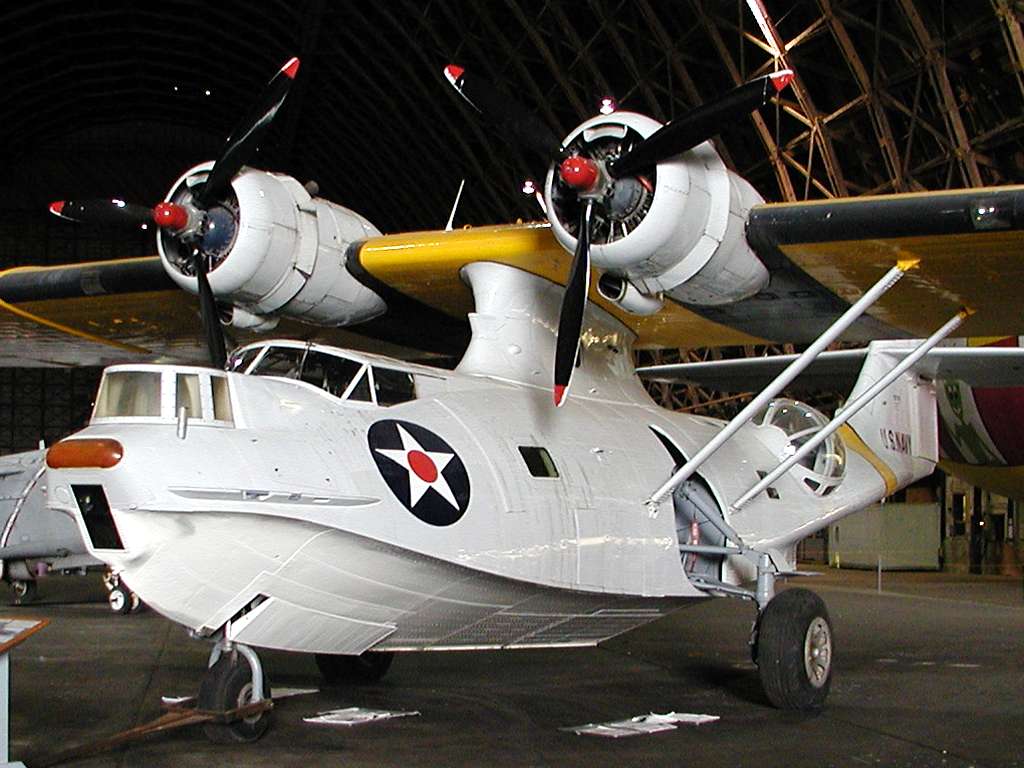
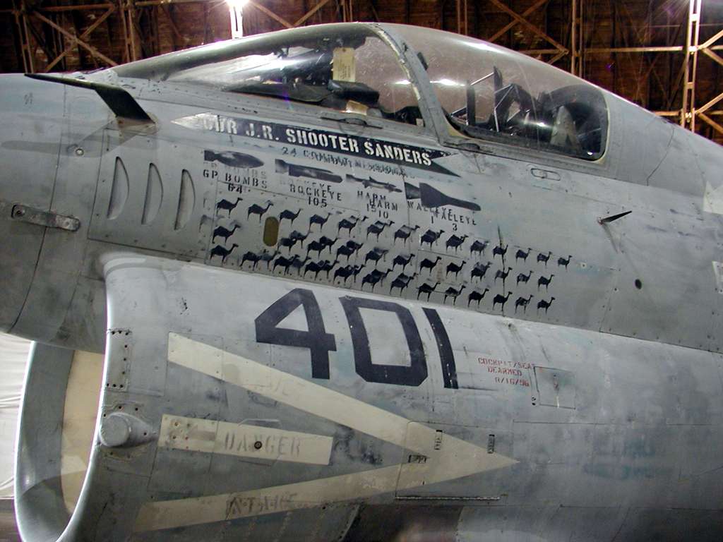
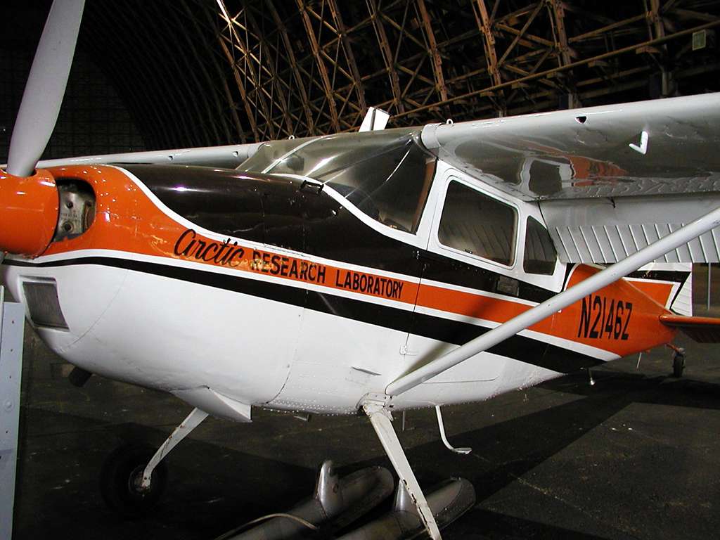
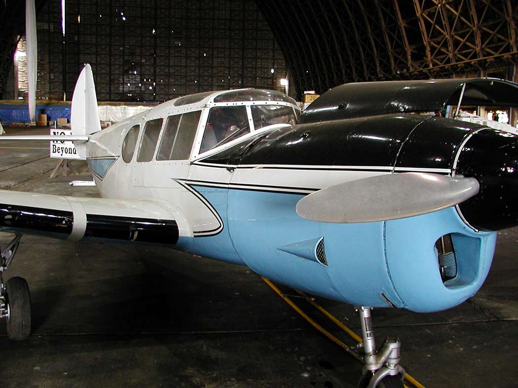
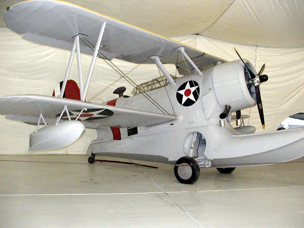
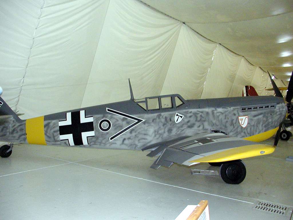
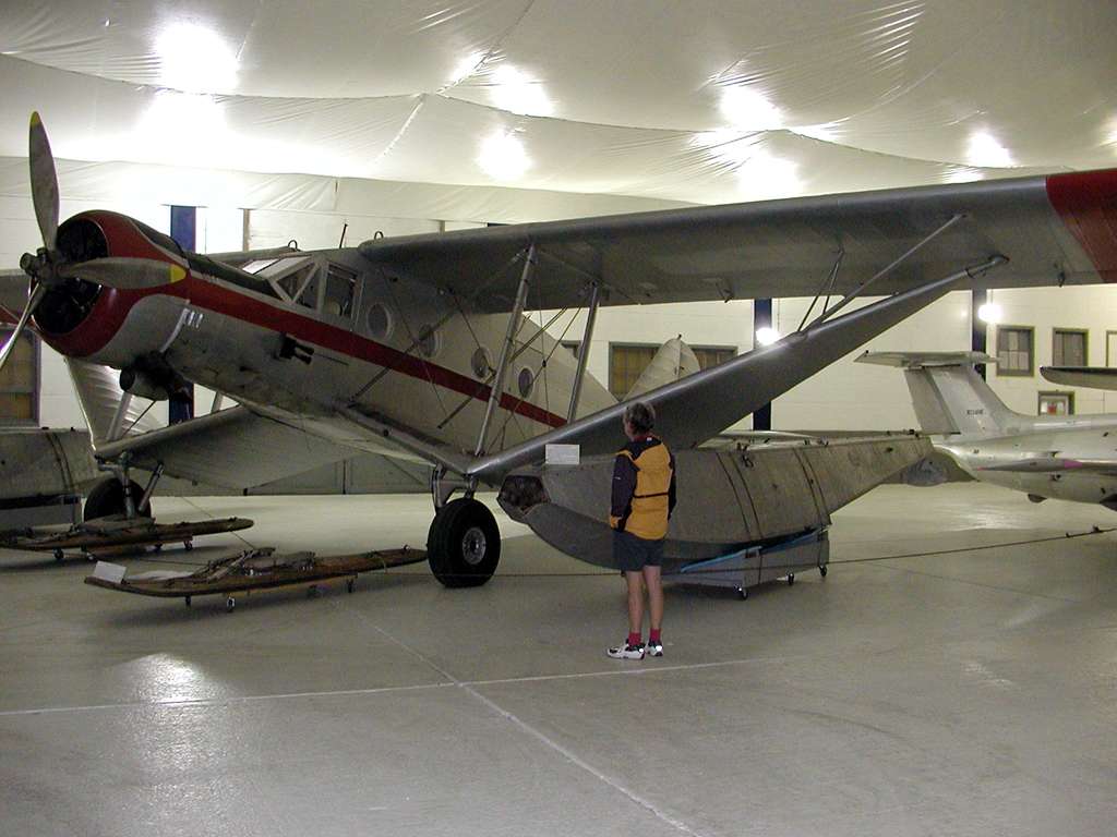
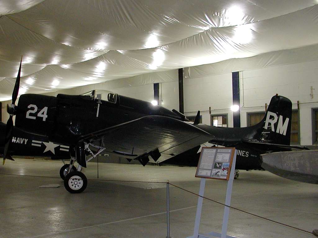
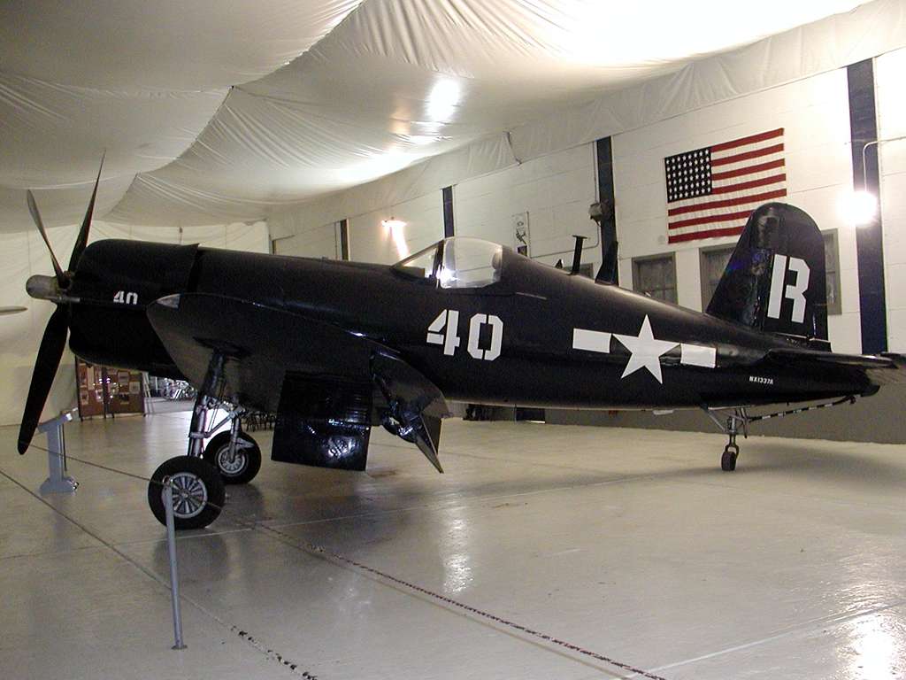
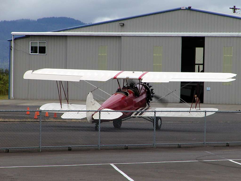
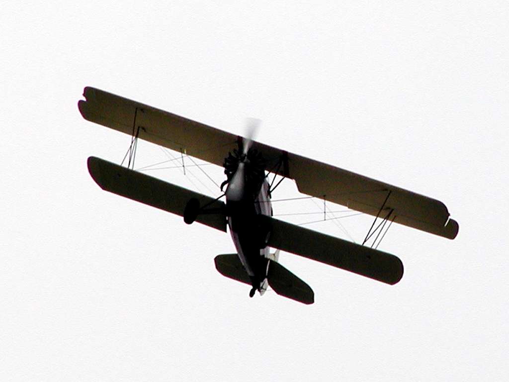
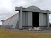
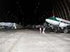
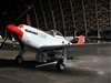
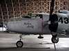
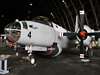
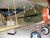
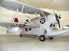
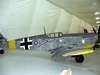
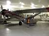
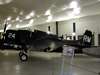
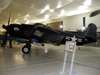
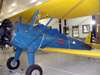
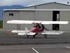
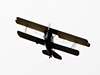
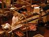
The Tillamook Air Museum is housed in a WWII blimp hangar of mammoth proportions. Over 7 acres under one (wooden-beamed) roof, it measures 1072 feet long, 206 feet wide, and 192 feet high.
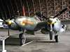
The museum houses restored aircraft from WWI through the present, with an emphasis on WWII era planes.
|
|
|
|
|
|
|
|

|

|

|

|
|
|
|
|
|
|
|

|
|
|
|
|
|
|
|
|
Tillamook is best known for its cheese. The Tillamook Creamery is capable of storing 50 million pounds of cheese in various stages of development, mostly cheddars.
|
|
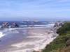
West of Tillamook is the Three Capes scenic drive. About 40 miles takes you by Cape Meares, Cape Lookout, and Cape Kiwanda. Rocky points with sandy beaches between.
|
|
|

|
|
|
|
|
|
|

|
|

|
|
|
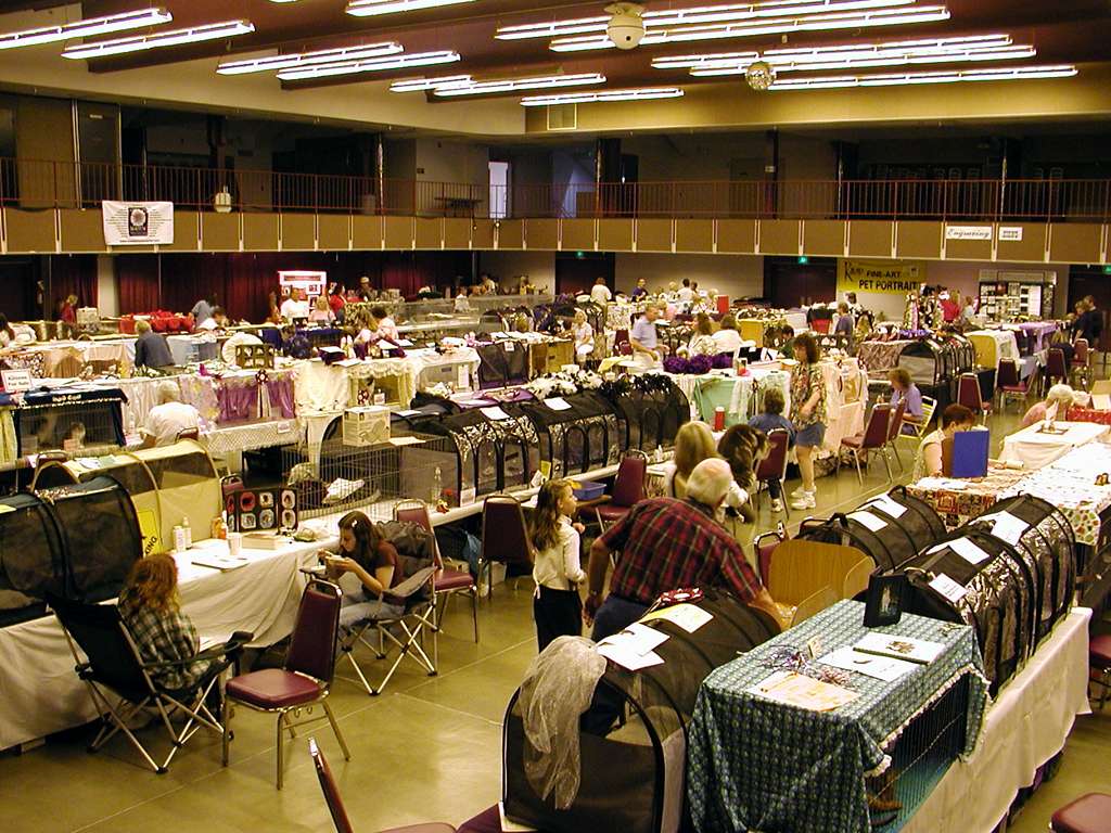
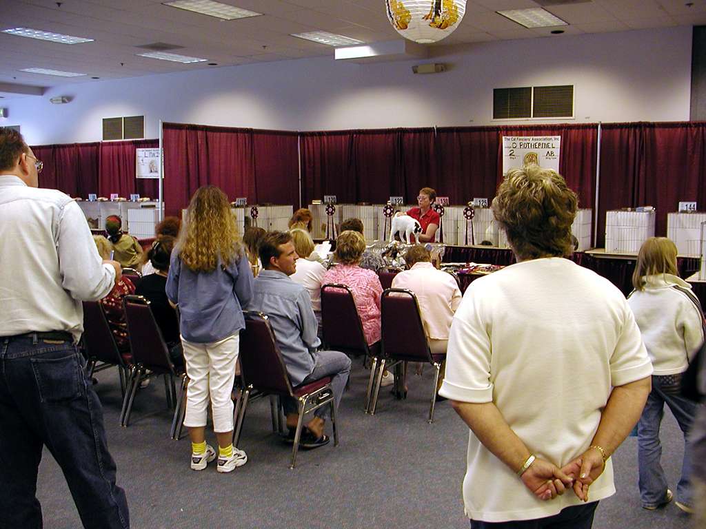
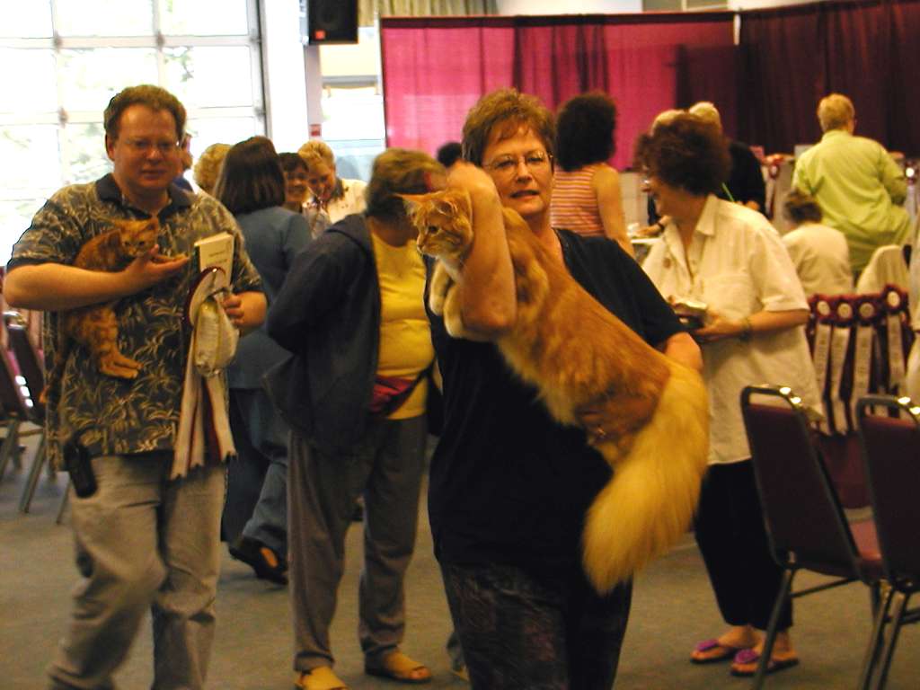
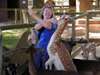
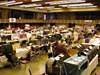
We like to stop at the occasional cat or dog show on the road. This is Sunkats, at the Seaside Convention Center.
|
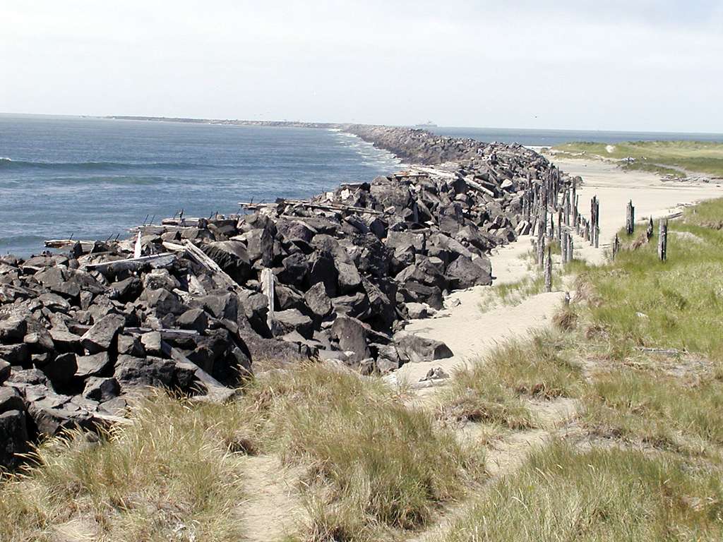
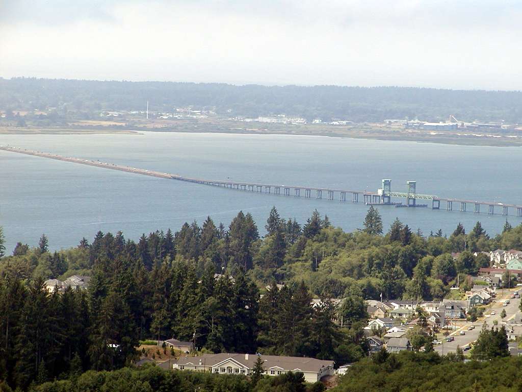
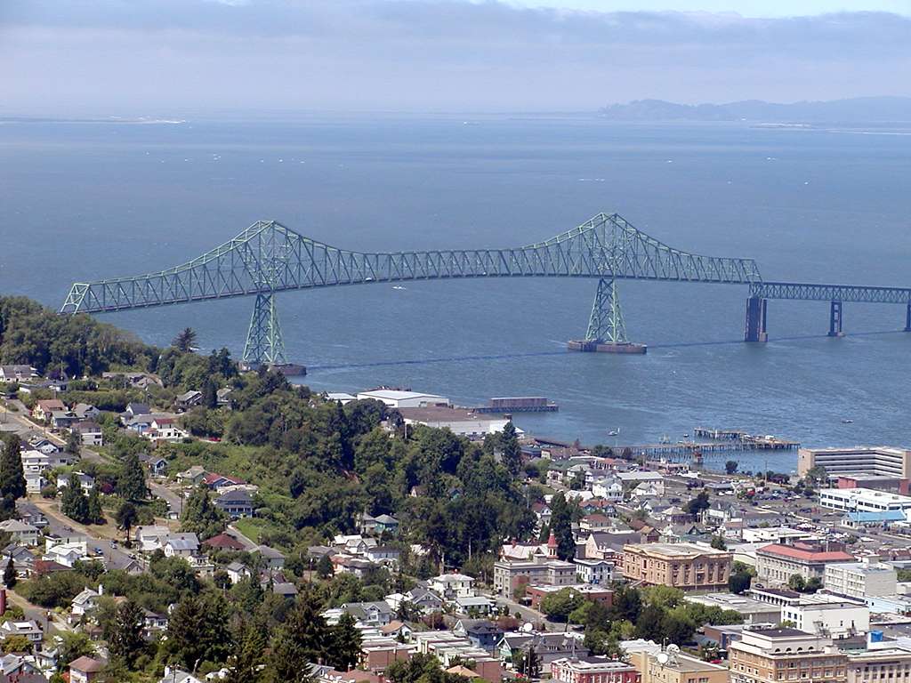
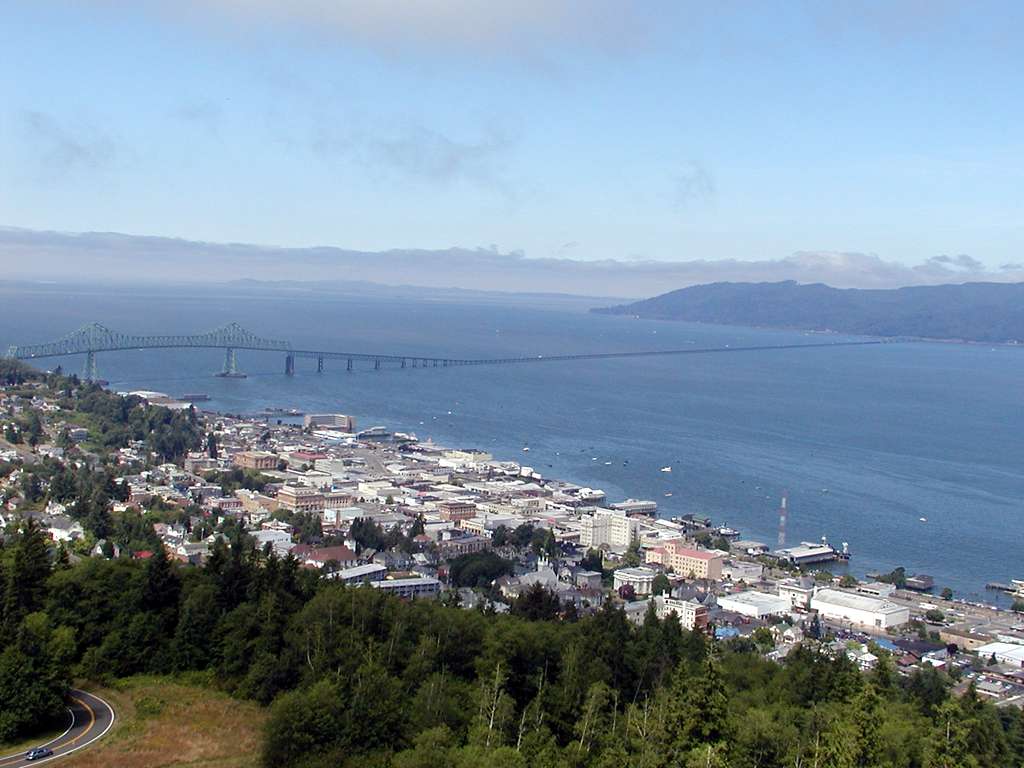
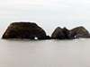
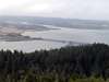
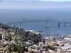
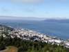
The Columbia River south jetty marks the end of the Oregon coast, and Astoria is the end of US 101 in Oregon.
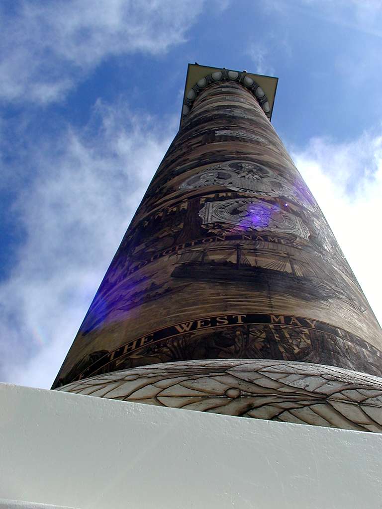
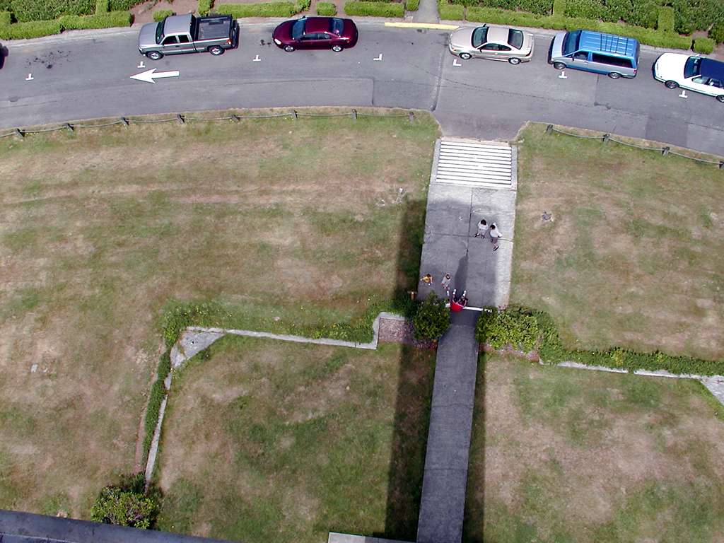
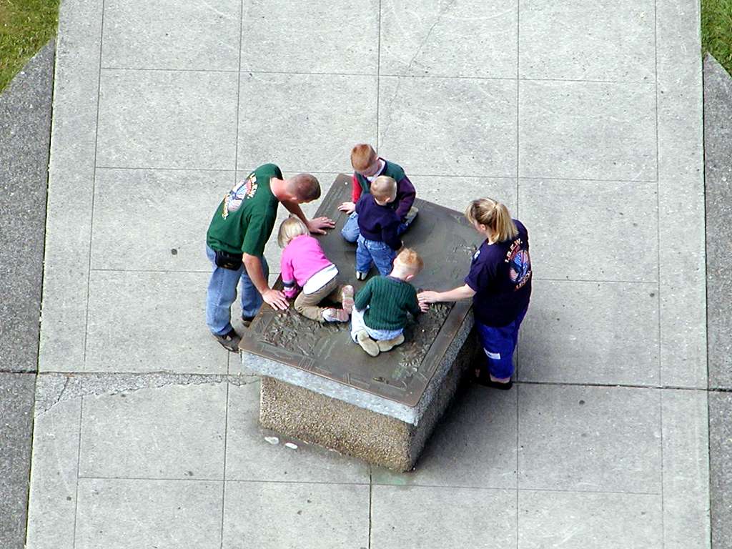
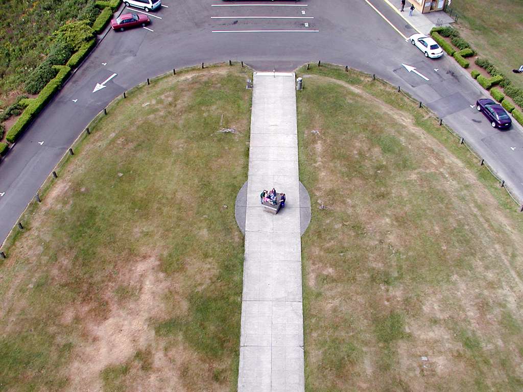
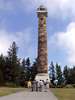
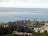
Astoria Column is a great place to view the town of Astoria and the Columbia mouth. 164 steps in a tight spiral take you up 125 feet, with the area history winding around the outside.
|
|

|

|
|
|
|
|
|
|
|
|
|
|
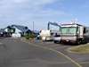
After four days in Tillamook we began our trip home. Sunday night we stayed at Eugene Kamping World in Coburg. Monday morning we took the Safari factory tour at the Monaco plant, and then went out to Harrisburg to the service facility to pick up a couple of parts.
|
Monday night we stayed at Ol Jo, a park in Cave Junction, then Tuesday we returned home with a stop in Crescent City to pick up 3 baby Blue-Fronted Amazons from a breeder. We will probably be home for about a month before heading out again.
 Comments? Send mail to donb@arcatapet.net Comments? Send mail to donb@arcatapet.net
Snail Mail: Arcata Pet, 600 F Street, Arcata, CA 95521-6301 USA
Webspace provided by and ©Copyright 1994-2026 by Don Bradner, All Rights Reserved.
|